AO Edited
Arko San Juan
The only remaining section of an aqueduct that used to supply water to Manila during the Spanish occupation.
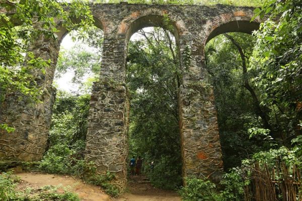
What may just look like an ordinary bridge that connects two neighborhoods bisected by a busy local road in the city of San Juan is the only remaining section of an aqueduct that once supplied water to the city of Manila from a nearby water reservoir during the Spanish colonial times.
In 1843, Manila experienced a cholera outbreak and the Spanish local government at that time finally realized the need for new sources of water. For many years, the residents of Manila sourced their water supply from nearby creeks, underground wells, and the Pasig River. But with the growing population, water pollution ensued and the outbreak of diseases.
The local government identified the San Mateo River (now Marikina River) as the best water source. A dam was constructed and a series of underground and above-ground water pipes were placed to bring the water to a newly constructed underground water tank in El Deposito in the town of San Juan. From there, an aqueduct was built to eventually distribute the water to Manila, then home to around 300,000 residents in 1860s. This water system was used until 1955. It was eventually abandoned and the aqueducts were dismantled to make way for rapid urbanization.
The structure has been filled with cement and covered with overgrown on its edges. There’s a series of concrete steps to get to the top of the arch where you can see the traffic from the road underneath.
Know Before You Go
The locals refer to the structure as the Arko (the arch). It is a short walk from the Pinaglabanan Shrine at the end of Sevilla Street.



Follow us on Twitter to get the latest on the world's hidden wonders.
Like us on Facebook to get the latest on the world's hidden wonders.
Follow us on Twitter Like us on Facebook