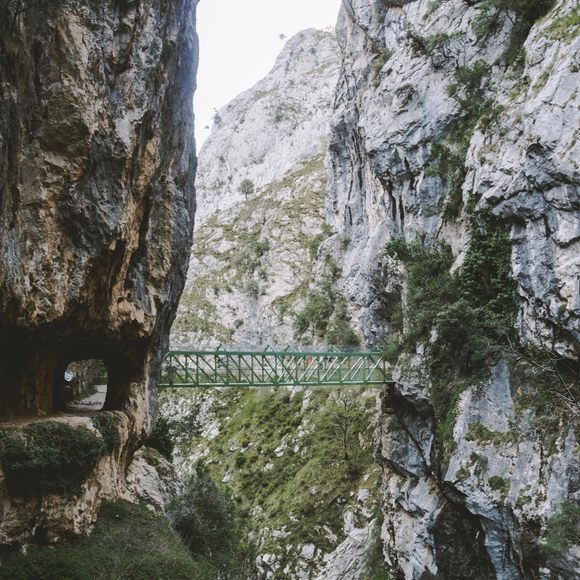
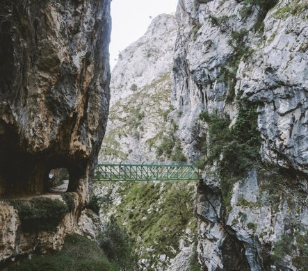


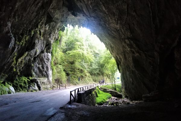
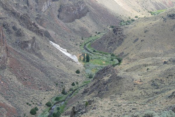
Known as the “Divine Throat”, this route between Caín (León) and Poncebos (Asturias) will allow you to walk between mountains that rise to more than 2,000 meters above the bottom of the imposing gorge carved out by the River Cares. You will see mythical peaks, you will pass through bridges that connect both sides of the gorge, you will go through around 70 tunnels carved into the rock and you will witness an amazing natural spectacle.
This deep gorge is not only the work of the natural force of the waters of the Cares River. It is also the result of engineering work that was carried out in the early 20th century to transport water to the Poncebos hydroelectric power station. Thanks to this, today it is easy to do this pleasant walk—you just have to follow the channel.
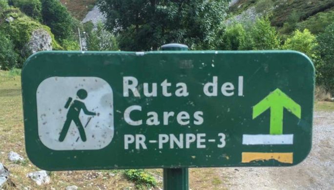
If you are an experienced hiker, you will be interested to know that the official route (PR-PNP 3) really starts (or ends) in Posada de Valdeón (León) and not in Caín, so the route becomes much longer (21 kilometers one way). However, this first section has fallen into disuse and the most frequent is to start in Caín.
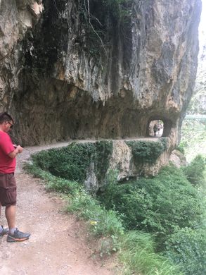
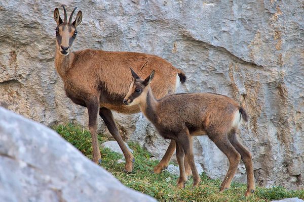
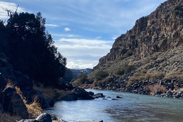
The walk starts off innocently enough, meandering along the banks of the Rio Cares. The path soon morphs into the old hydroelectric maintenance track, which is carved into the cliff face. You soon gain altitude and can see the Cares River’s unrelenting erosion of limestone that helped form the gorge. You will see a natural arch, dramatic cliffs, and enjoy the shade of the oak and chestnut trees that grow here. Goats and vultures are the most common animals you will see.
As the train nears Caín, the gorge gets more and more narrow, until you walk through a dark canyon filled with the roar of the rushing river. In Caín, there are several options to eat and drink by the river. The village itself is situated in a valley with steep sides, with many walnut trees growing all around it.
Know Before You Go
The views are beautiful. The trek takes about eight hours to the end and back. Sensible footwear is a must along with clothing to suit the weather. Pack lunch and water as well as walking poles to steady yourself along the path.
The hike connects the villages of Poncebos in Asturias and Caín in León. It is 12 km long, but in all likelihood, you will walk it back to where you started, so it’s 24 km. Should you decide that you’re unable or unwilling to walk back and take a taxi to your starting point: the drive between the two villages is about 120 km long. That is, if you can get a taxi, because neither village is exactly big.
Almost all hikers start at the trailhead in Poncebos. Make sure to arrive early to find a convenient place to park your car. You can buy packaged lunches at several places along the way in Poncebos.
Starting in Poncebos also means that you will begin the hike with the steepest parts of the trail and don’t have to do that on the way back.


Follow us on Twitter to get the latest on the world's hidden wonders.
Like us on Facebook to get the latest on the world's hidden wonders.
Follow us on Twitter Like us on Facebook