Headwaters of the Mississippi River
At this Minnesota state park you can easily wade across the source of the mighty Mississippi.
The Mississippi River, one of the largest rivers in the world, flows approximately 2,350 miles before it empties into the Gulf of Mexico, stretching 11 miles at its widest point. The watershed that flows into this massive river covers 31 states, two Canadian provinces, and measures about 1.2 million square miles.
Everything has to start somewhere, and the Mississippi River starts in Itasca State Park in Minnesota.
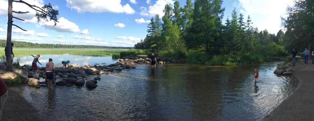
The official beginning of the mighty river is on one side of a small rock dam where water from Lake Itasca begins to flow, soon to be joined by water from many other tributaries on its journey to the gulf. At the watershed, the river is tranquil and shallow; it’s a great spot for wading.
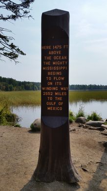
A large post has been installed next to the headwaters since the 1930s, officially proclaiming the park’s status as the source of the great river and listing its distance to the gulf as 2,552 miles. (The U.S. Geological Survey puts the number at 2,300 miles and the EPA at 2,320 miles.)
Also in the park, just a short walk from the dam, is the first of many bridges over the Mississippi River. The park service has installed steps to the water near the bridge, providing not only access to a little current for more adventurous waders but also a prime photo opportunity.
Know Before You Go
Park at the visitors center and take a short walk to the headwaters.


Follow us on Twitter to get the latest on the world's hidden wonders.
Like us on Facebook to get the latest on the world's hidden wonders.
Follow us on Twitter Like us on Facebook